Welcome to Mississauga
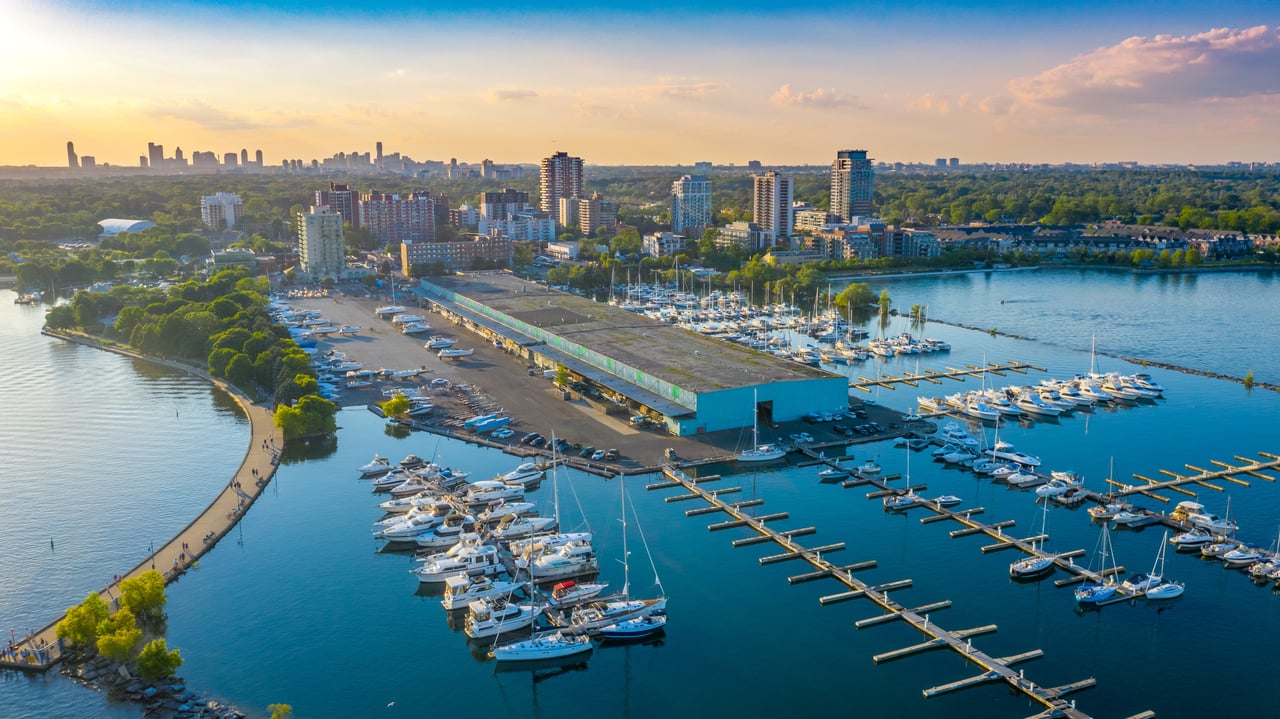
Mississauga is a city in Southern Ontario, Canada. It lies on the shores of Lake Ontario, located in the Regional Municipality of Peel, in the western part of the Greater Toronto Area which is in the west of Toronto. The city has a population of 713,443 as of the Canada 2011 Census and is Canada's sixth-most populous municipality.
Initially developed as a suburb of Toronto, Mississauga's growth is attributed to its proximity to that city. It is the largest suburb in Anglo-America by population. In recent decades, has attracted a multicultural population, the city has initiated the development of a full-fledged downtown core and shaped its new identity as a distinct city from Toronto, and distanced itself from its running joke of being just suburbia. Residents of the city are called Mississaugans and Saugans.
The city is placed first overall in 'the mid-sized cities of the future the time of the arrival of the Europeans in the 1600s, both Iroquoian and Algonquian-speaking peoples already lived in the Credit River Valley area. One of the First Nations groups the French traders found around the Credit River area were the Algonquian Mississaugas, a tribe originally from the Georgian Bay area. The name "Mississauga" comes from the Anishinaabe word Misi-zaagiing, meaning "[Those at the] Great River-mouth." By 1700 the Mississaugas had driven away the Iroquois, yet during the Beaver Wars, they played a neutral or post-emotive role. by financial publication fDi Magazine for North and South American cities, placing first in business friendliness, second in economic potential, and fourth in infrastructure and foreign direct investment strategy. Mississauga was also rated as Canada's 11th best city to live in in terms of prosperity according to MoneySense magazine. It is the fourth most walkable large city in Canada according to Walk Score. Toronto Pearson International Airport, Canada's busiest airport is located in the city, and it is the location of many major corporate headquarters for Canada.
Toronto Township, consisting of most of present-day Mississauga, was formed on August 2, 1805, when officials from York (what is now the City of Toronto) purchased 84,000 acres (340 km-¦) of land from the Mississaugas. In January 2010, the Mississaugas and the federal government settled a land claim, in which the band of aboriginal people received $145,000,000, as just compensation for their land and lost income.
The original villages (and some later incorporated towns) settled included: Lakeview, Clarkson, Cooksville, Dixie, Erindale (called Springfield until 1890), Lorne Park, Port Credit, Sheridan, and Summerville. This region would become known as Toronto Township. Part of northeast Mississauga, including the Airport lands and Malton were part of Toronto Gore Township.
After the land was surveyed, the Crown gave much of it in the form of land grants to United Empire Loyalists who emigrated from the Thirteen Colonies during and after the American Revolution, as well as loyalists from New Brunswick. A group of settlers from New York City arrived in the 1830s. The government wanted to compensate the Loyalists for property lost in the colonies and encourage the development of what was considered frontier. In 1820, the government purchased additional land from the Mississaugas. Additional settlements were established, including Barbertown, Britannia, Burnhamthorpe, Derry West, Elmbank, Malton, Meadowvale Village, Mount Charles, and Streetsville. European-Canadian growth led to the eventual displacement of the Mississaugas. In 1847, the government relocated them to a reserve in the Grand River Valley, near present-day Hagersville.
In 1873, in light of the continued growth seen in this area much as a result of the many railway lines passing through the township which spurred on industry. The Toronto Township Council was formed to oversee the affairs of the various villages that were unincorporated at that time. The Council's responsibilities included road maintenance and the constitution of a police force. Except for small villages, some gristmills, and brickworks served by railway lines, most of present-day Mississauga was agricultural land, including fruit orchards, through much of the 19th and first half of the 20th century.
In the 1920s, cottages were constructed along the shores of Lake Ontario as weekend getaway houses for city dwellers.
17 years later in 1937, 1,410.8 acres of land was sold to build the Malton Airport (later known as the Pearson Airport). It became Canada's busiest airport which also put the end to the community of Elmank.
The Queen Elizabeth Way (QEW) highway, one of the first controlled-access highways in the world, opened from Highway 27 to Highway 10 in Port Credit, in 1935 and later to Hamilton and Niagara in 1939. The first prototypical suburban developments occurred around the same time, in the area south of the Dixie Road/QEW interchange. Development in general moved north and west from there over time and around established communities. Large-scale developments, such as Erin Mills and Meadowvale sprang up in 1968 and 1819 respectively.
The township settlements of Lakeview, Cooksville, Lorne Park, Clarkson, Erindale, Sheridan, Dixie, Meadowvale Village, and Malton were amalgamated by a somewhat unpopular provincial decree in 1968 to form the Town of Mississauga. At the time, both Port Credit and Streetsville were left out and remained as separate entities. The town name was chosen by the plebiscite over "Sheridan". Political will, as well as a belief that a larger city would be a hegemony in Peel County, kept Port Credit and Streetsville as independent island towns encircled by the Town of Mississauga. In 1974, both were annexed by Mississauga when it was reincorporated as a city. That year, the sprawling Square One Shopping Centre opened, which has since expanded many times.
On November 10, 1979, a 106-car freight train derailed on the CP rail line while carrying explosive and poisonous chemicals just north of the intersection of Mavis Road and Dundas Street. One of the tank cars carrying propane exploded, and since other tank cars were carrying chlorine, the decision was made to evacuate nearby residents. With the possibility of a deadly cloud of chlorine gas spreading through Mississauga, 218,000 people were evacuated.
Residents were allowed to return home, once the site was deemed safe. At the time, it was the largest peacetime evacuation in North American history. Due to the speed and efficiency in which it was conducted, many cities later studied and modeled their own emergency plans after Mississauga's. For many years afterward, the name "Mississauga" was, to Canadians, associated with a major rail disaster.
North American telephone customers placing calls to Mississauga (and other post-1970 Ontario cities) may not recognize the charge details on their billings, as Bell Canada continues to use the historic community exchanges: Clarkson, Cooksville, Malton, Port Credit, and Streetsville, rather than "Mississauga"; they are combined as a single Mississauga listing in the phone book. Touch-Tone telephones were first introduced at Malton, the first in Canada, on June 15, 1964.
On January 1, 2010, Mississauga bought land from the Town of Milton and expanded its border by 400 acres (1.6 km2) to Hwy. 407 affecting 25 residents.
Home Search